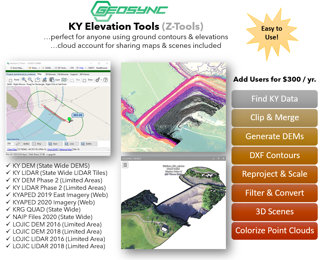
KY Elev Tools
Makes Working with KY Elevation Data Easy!
Easy to use 3D toolbox for finding, filtering, clipping and visualizing point cloud data. Designed by surveying professionals to streamline point cloud workflows and working with point cloud data sets. Quickly generate contours and clipped point clouds for any location in Kentucky. Find and download GIS resources such as aerial images and topographic maps with a few clicks.