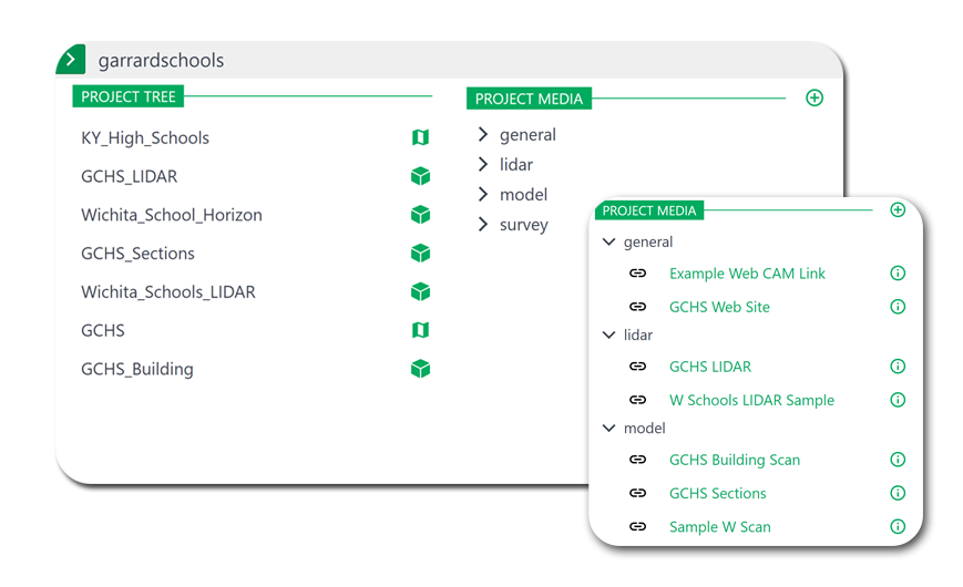
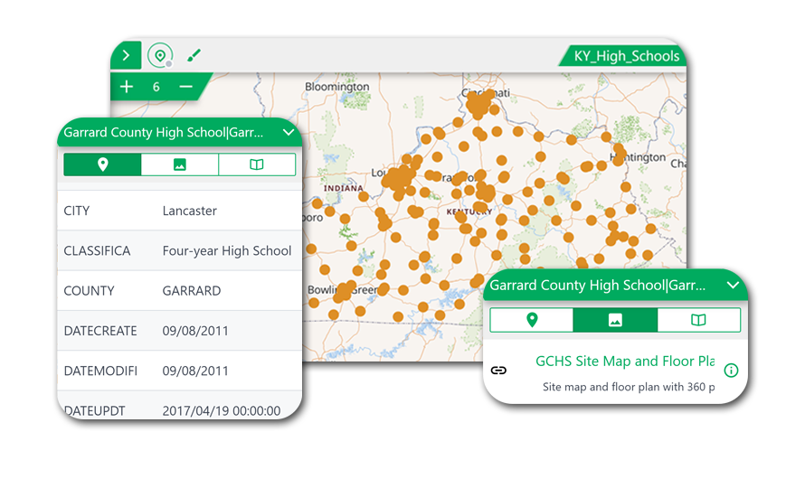
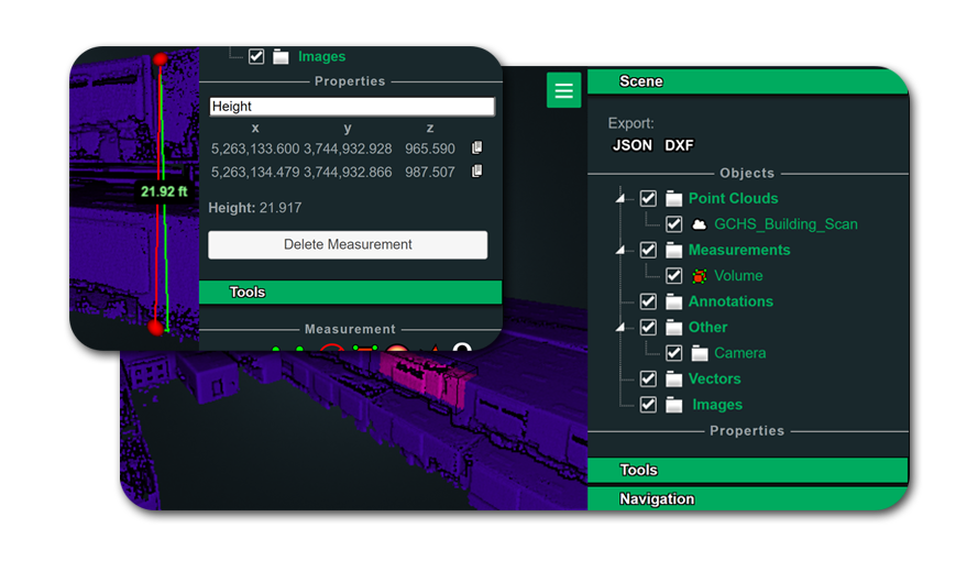
Component Preview
Solutions utilize three main components. A project tree to group related items. A map to navigate spatial data. And a scene to explore 3D data. Scroll down to see how these are mixed together to create unique applications.
Work Tracking
Map-based preventive maintenance solution for managing everyday maintenance tasks. The layout includes a current task list based on your assigned schedule and graphically highlights current tasks on top of your facility, project or asset mapping layers.
Sub-meter Mapping
Bundling a Leica FLX100 GNSS device with our software provides a solution for projects that require increased accuracy. Adding features in the field remains easy while receiving positions from this lightweight device.

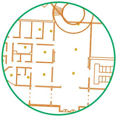
Indoor Visualization
Focusing a solution to a smaller area allows adding greater detail to specific locations. Floor plans that can be viewed in 2D or 3D give flexibility that can be used in many different ways.